Photo Gallery
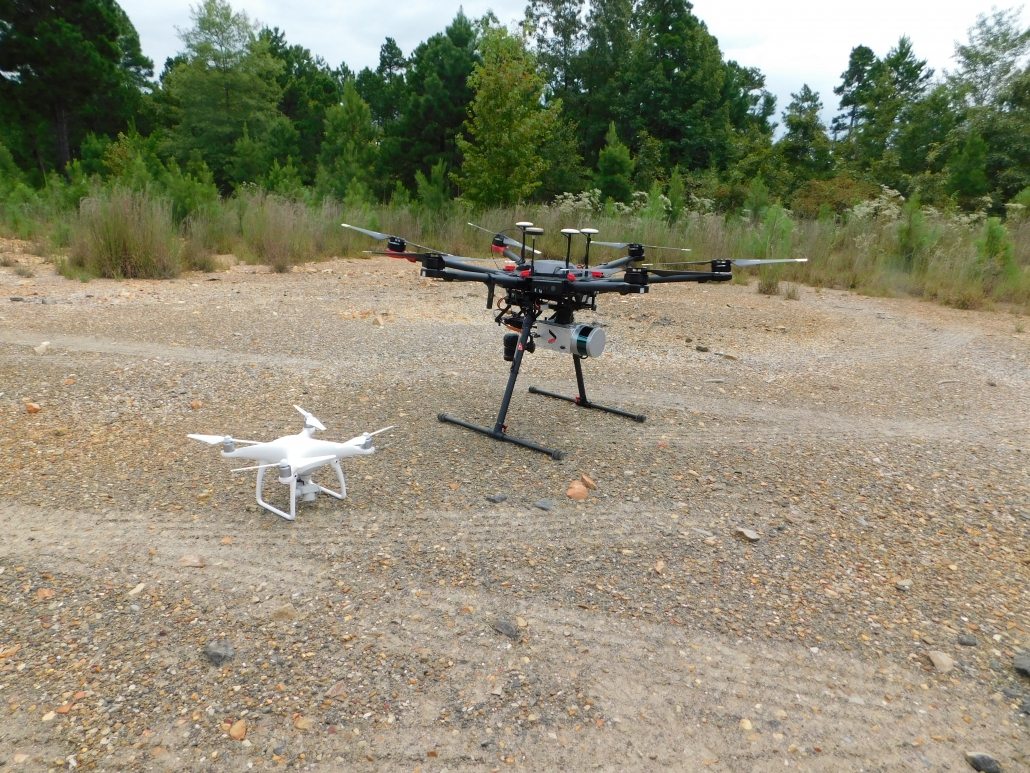
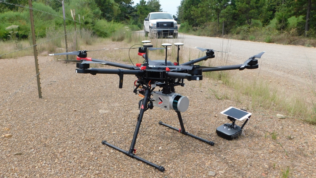
WIH survey team used drones as part of utility identification and survey work for the water line. The work provides information needed to design the path of the water line.

WIH survey team used drones as part of utility identification and survey work for the water line. The work provides information needed to design the path of the water line.